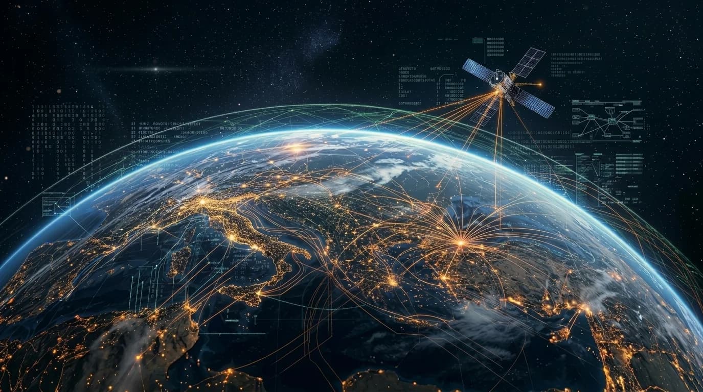
GIS, Geospatial AI & Satellite Analytics
Transform location-based data into actionable intelligence for planning, monitoring, and decision-making.
Transforming location data into real-world intelligence.
GIS, geospatial AI and satellite analytics that turn spatial data into actionable insight.Funavry combines geographic information systems, geospatial AI, remote sensing, and satellite analytics to turn complex spatial data into actionable insights. Our solutions help organizations identify geographic patterns, monitor environmental and operational changes, assess spatial risks, and make informed decisions.
Engineering Impact
OutcomesThatDefineTomorrowOutcomes That Define TomorrowLocation Intelligence
Actionable insights from spatial data.
Urban Planning
Smarter city development.
Environmental Monitoring
Track climate and ecosystems.
Disaster Response
Real-time geospatial alerts.
Resource Optimization
Efficient land and asset use.
Satellite Insights
Global monitoring at scale.
Location data turned into
actionable intelligence.
Satellite imagery and location data turned into intelligence for planning and monitoring.Transform location-based data, satellite imagery and geographic information into actionable intelligence for smarter planning, environmental monitoring, infrastructure management and data-driven decision-making.
Geospatial Analytics
Transform geographic and location-based data into actionable intelligence that reveals spatial patterns, relationships, and emerging trends. We develop geospatial solutions that combine advanced spatial analysis, location intelligence, and interactive mapping to support strategic planning, optimize resource allocation, and enable smarter, data-driven decisions across industries.
Spatial Analysis
Identify geographic patterns, relationships and trends to support evidence-based decisions.
Location Intelligence
Combine location data with business information to optimize planning and resource allocation.
Mapping Solutions
Develop interactive maps to visualize geographic information and communicate spatial insights.
Tools & Techniques
- ArcGIS
- QGIS
- PostGIS
- GeoPandas
- Google Earth Engine
- Spatial Querying
- Geostatistical Analysis
- Network Analysis
- Geocoding
- Hotspot Analysis
Satellite & Remote Sensing
Extract meaningful insights from satellite imagery, drone surveys, and aerial data to understand changes across landscapes, infrastructure, agriculture, and environmental conditions. We apply advanced remote sensing techniques and image analysis to monitor land use, assess environmental changes, identify surface features, and deliver timely intelligence for better planning and informed decision-making.
Satellite Image Analysis
Detect geographic changes, surface features and emerging patterns in satellite imagery.
Aerial Imagery Analysis
Extract detailed insights from drone imagery and aerial surveys.
Remote Sensing Solutions
Monitor land use, vegetation, environmental conditions and infrastructure over time.
Tools & Techniques
- Google Earth Engine
- ESA SNAP
- ENVI
- GDAL
- Rasterio
- Multispectral Analysis
- Change Detection
- Land Cover Classification
- Image Classification
- Vegetation Index Analysis
Geospatial AI
Combine artificial intelligence, machine learning, and geospatial data to automate complex spatial analysis and extract deeper insights from geographic imagery. We develop intelligent models that identify objects, classify land features, detect changes, and interpret spatial patterns, enabling faster analysis, scalable geospatial workflows, and more accurate predictions for industry-specific applications.
Custom Geospatial Models
Develop AI models tailored to spatial datasets and industry-specific applications.
Feature Extraction
Automatically identify buildings, roads, vegetation, land features and other objects in imagery.
Geospatial Foundation Models
Apply large-scale pretrained AI models to geospatial understanding, mapping and image analysis.
Tools & Techniques
- PyTorch
- TensorFlow
- Hugging Face
- TorchGeo
- Google Earth Engine
- Geospatial Machine Learning
- Semantic Segmentation
- Object Detection
- Image Classification
- Transfer Learning
GIS Platforms & Data Services
Build scalable geospatial platforms that bring together geographic data management, spatial analysis, and interactive visualization within integrated digital environments. We develop and connect GIS solutions that help organizations manage spatial assets, monitor operations, distribute geographic information, and turn complex datasets into accessible insights through reliable data services and intuitive dashboards.
GIS Platforms
Develop and integrate enterprise geographic information systems for spatial data management and analysis.
Visualization Dashboards
Create interactive geospatial dashboards for monitoring locations, assets and operational trends.
Geospatial Data Annotation
Label and prepare spatial datasets for machine learning and AI applications.
Geospatial Data Management
Organize, validate, standardize and govern geospatial data assets.
Tools & Techniques
- ArcGIS Enterprise
- GeoServer
- PostGIS
- Mapbox
- OpenLayers
- Geospatial Data Modeling
- Coordinate Reference System (CRS) Transformation
- Data Validation
- Spatial Indexing
- Geospatial Metadata Management
From Geospatial Data to Real-World Intelligence
Transforming location-based data and satellite imagery into actionable spatial insights.
GIS, remote sensing and satellite analytics to monitor change, assess risk and plan.We help organizations combine geographic information systems (GIS), geospatial AI, remote sensing, and satellite analytics to monitor changes, understand spatial patterns, assess risks, and support data-driven planning and decision-making.
- 01
Discover
Define business objectives, geographic areas of interest, analytical requirements, and the spatial questions that need to be answered.
- 02
Acquire & Integrate
Collect and integrate satellite imagery, aerial imagery, GIS datasets, location data, and other relevant geospatial information.
- 03
Process & Analyze
Prepare spatial datasets, process imagery, apply geospatial analytics and AI models, and identify patterns, features, and changes across geographic areas.
- 04
Visualize & Validate
Present findings through interactive maps, spatial dashboards, and analytical outputs while validating results against available reference data and ground observations.
- 05
Monitor & Optimize
Track spatial changes over time, refine analytical models, update geospatial datasets, and deliver recurring insights to support ongoing operational and strategic decisions.
Transforming Industries
with GIS, Geospatial AI & Satellite Analytics
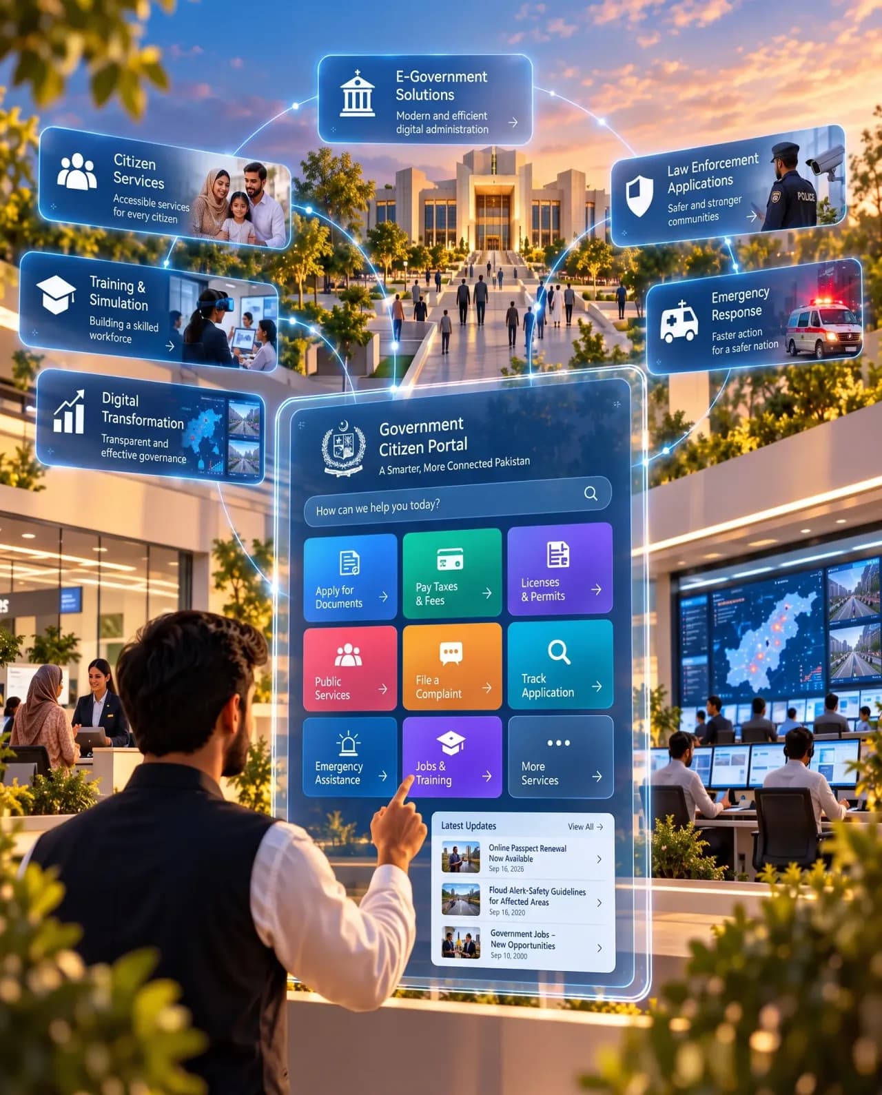
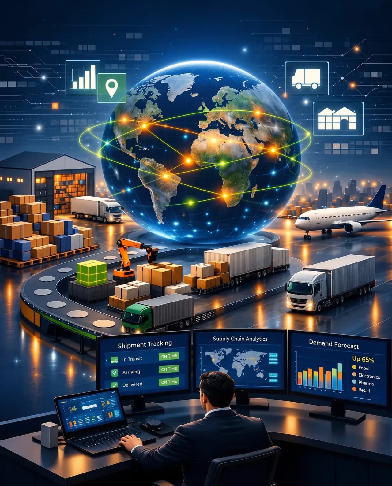
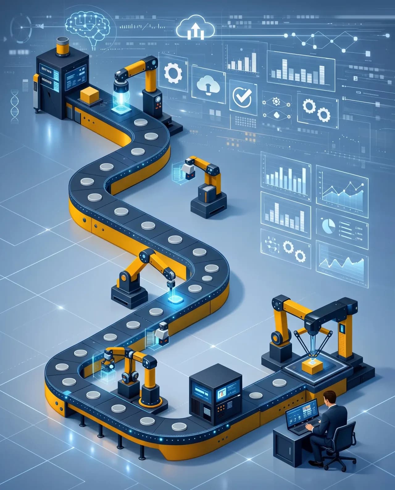
Applying this expertise to complex operational challenges across industries.We apply this expertise across industries to solve complex operational challenges, improve decision-making, and create scalable digital experiences.







01 / 11